
Here in the Ruhr region, "cycling by numbers" makes navigation much easier. The junction system has been in place for several years now, and there have been significant improvements in wayfinding. I'll answer the most frequently asked questions, tell you what to look out for, and explain how you can easily plan a great bike tour using the junction system. Essentially, it's a kind of FAQ about the junction system in the Ruhr area!
The junction network system in the Ruhr area – Why numbers instead of places???
Why should seemingly meaningless numbers be more helpful than specific place names? That's the question most cyclists ask themselves when encountering a junction system for the first time. Of course, someone familiar with a place can make more sense of a name than a simple number. This might work well enough in their own city. But even in the next town over, you might not know every district or every landmark. Can someone from Dortmund really make sense of a signpost to Leithe?
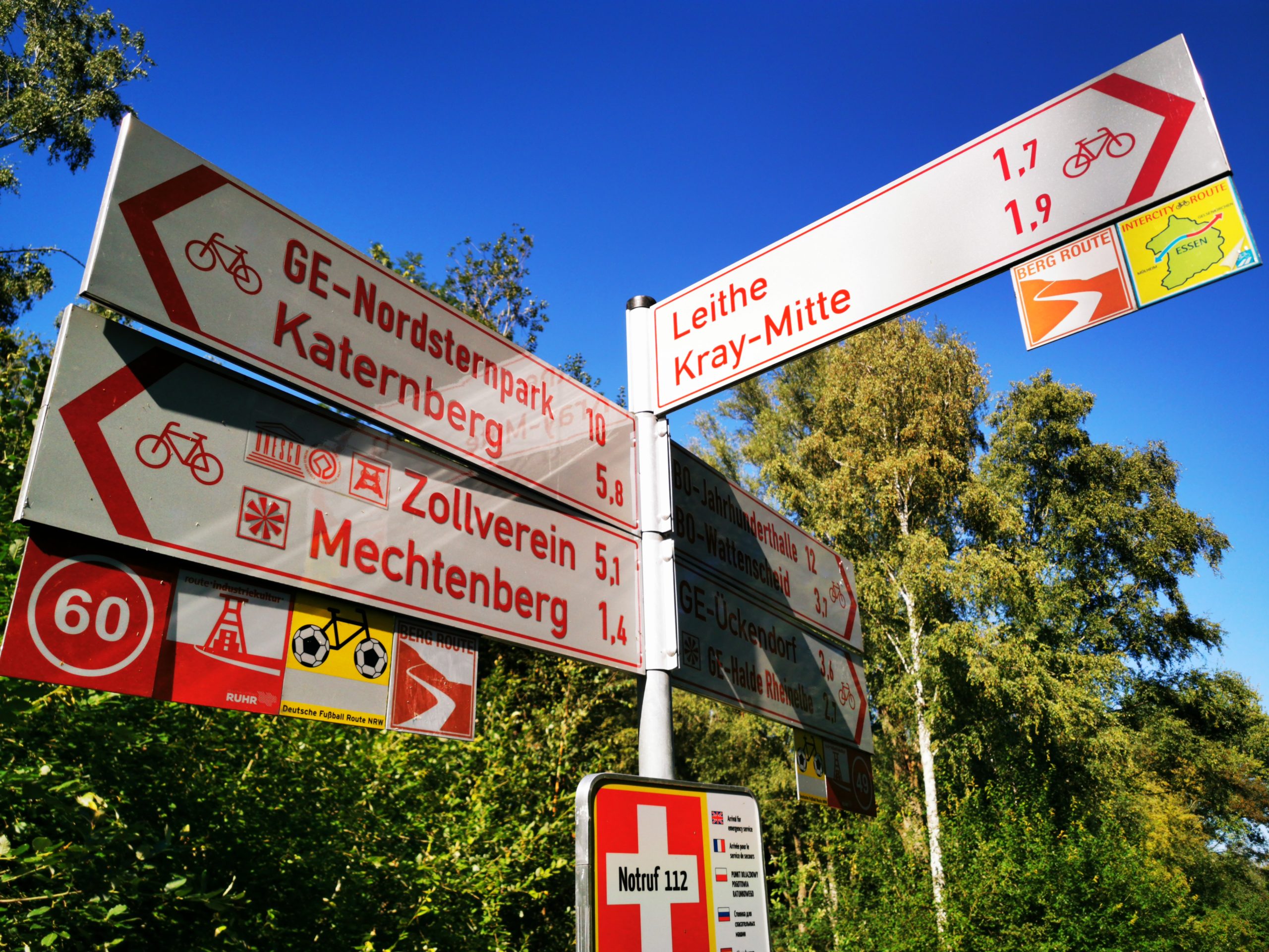
He'll probably have to stop, get out a map, and search. When planning a tour, however, numbers can be quickly jotted down. Many people stick a small note on their handlebars and then always know exactly which number they need to follow. This way, you don't have to stop at the signpost but can continue cycling in the right direction without any trouble.
Over 250 junctions in the Ruhr area
In the Ruhr region, a "tourist" network of numbered junctions, spanning approximately 1.200 kilometers, has been established. This means that only attractive cycle paths for leisure cycling tours, ideally also leading to interesting sights, have been included. Cyclists and recreational cyclists can therefore easily navigate using these numbers.
Everyday cyclists and commuters, however, might be disappointed. A junction network system for everyday use would have been so dense in the Ruhr area that there would probably have been several thousand junctions in the end. That would certainly have caused more confusion than help. Since everyday cyclists are usually familiar with the local area anyway, the standard red and white cycle path signage, which still forms the basis of the junction network system in the Ruhr area, is sufficient for them.
Why is the network of junctions in the Wesel district so much denser?
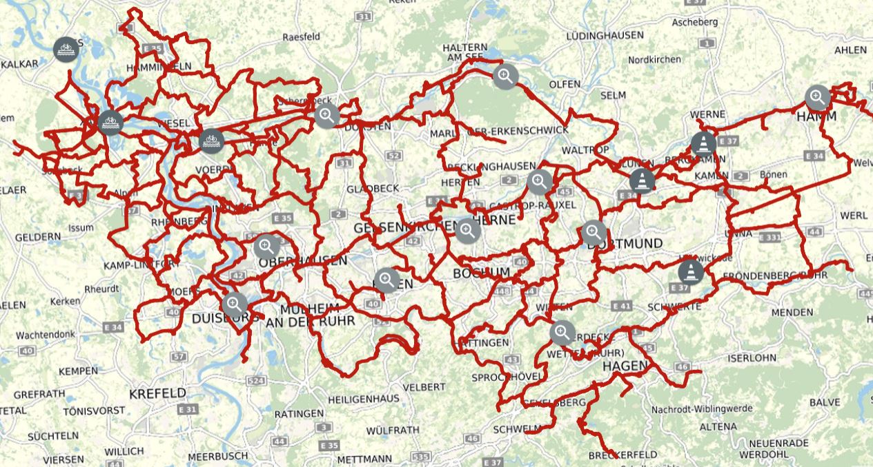
The Wesel district is also part of the radrevier.ruhr cycling region. Here, however, the junction network is denser than in other regions. This is because the Wesel district has independently developed its own network. On the one hand, this allows for many more tours to be planned within the junction network; on the other hand, the quality of the paths is not equally high on every junction route. The junction network in the Wesel district therefore more closely resembles an everyday junction network based on the Dutch model, something holiday cyclists should be aware of when planning their tours.
Where exactly can I find the transport hubs in the Ruhr area?
Many industrial monuments are located directly on the network of cycle routes, as each so-called "anchor point of industrial culture" has been assigned its own route number. Whether it's the Zollverein UNESCO World Heritage Site, the Dortmund U, or the Duisburg-Nord Landscape Park, they can all be reached directly via the network. Furthermore, every city in the Ruhr region is connected to at least one route, and important train stations are also linked for easy arrival and departure. In addition, the route points are naturally located at the main junctions of important cycle paths, such as at the Erzbahnbude, where the Kray-Wanne Railway meets the Erzbahntrasse (Ore Railway Trail).
Is there a junction 100?
No, the junction network system in the Ruhr area only uses two-digit numbers. This is partly because most people find two-digit numbers much easier to remember than three-digit ones. Consequently, most numbers appear multiple times in the Ruhr area. However, the system is designed so that identical numbers are spaced far enough apart that you shouldn't get confused. While you might encounter junction number 1 twice on long tours, you'll likely have cycled past many other junction numbers for several hours in between. Incidentally, the junction network system in the Ruhr area has also been coordinated with neighboring regions like the Sauerland, so cross-border tours should work well too.
What does a transport hub in the Ruhr area look like?
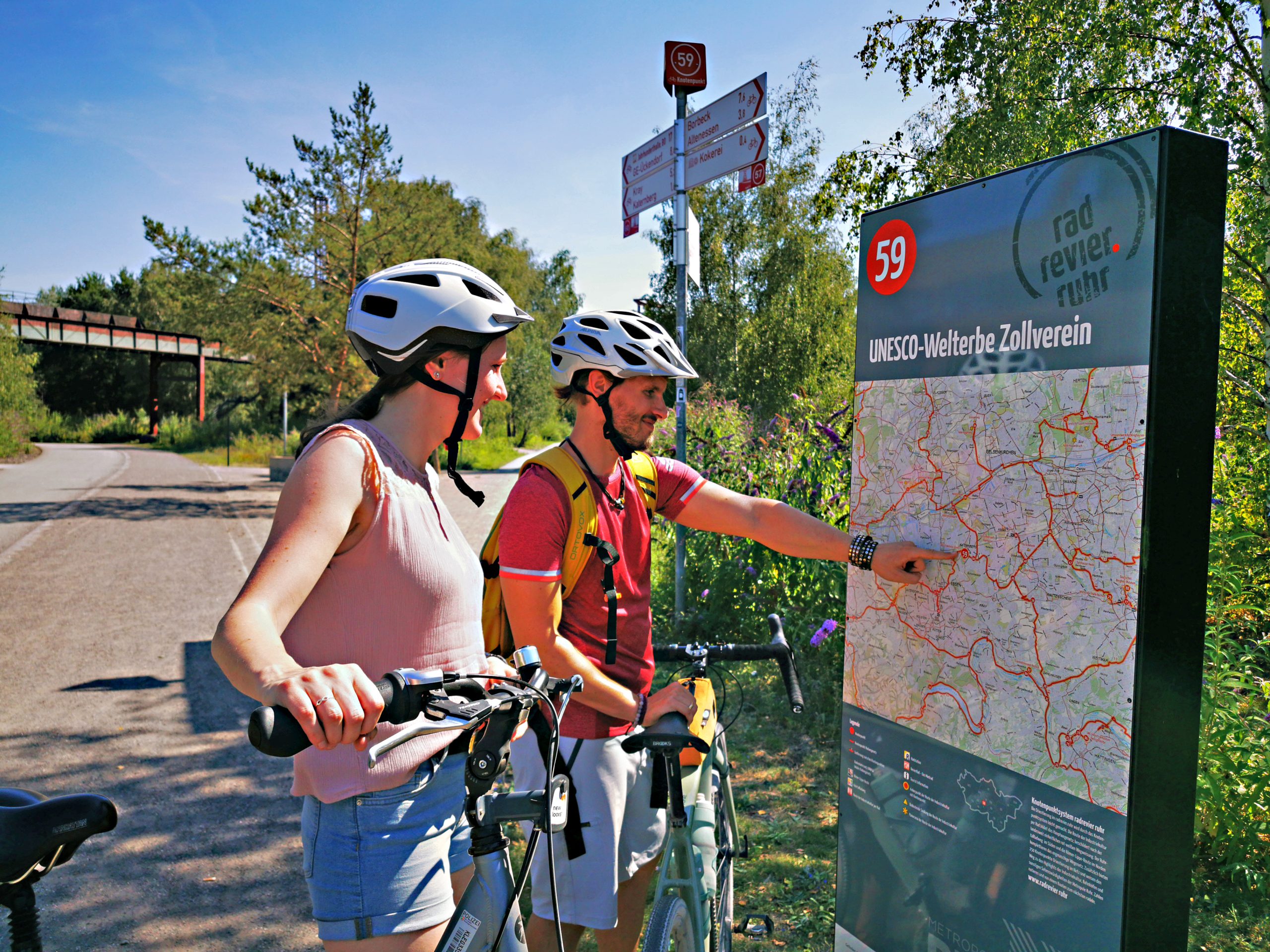
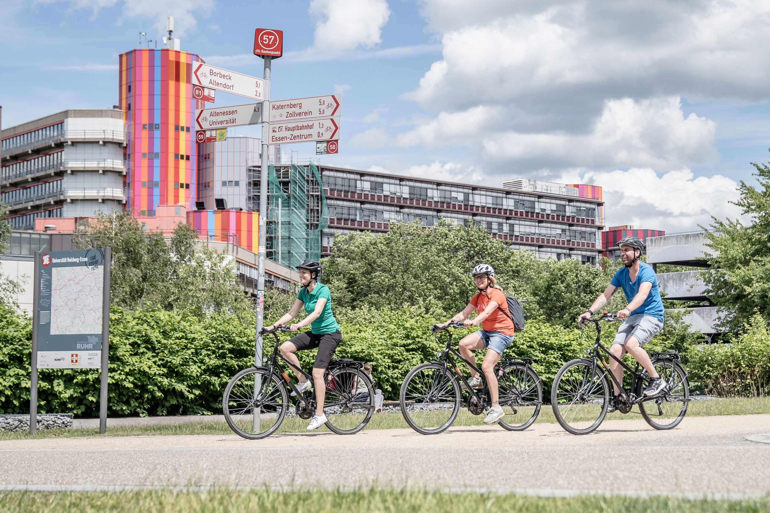
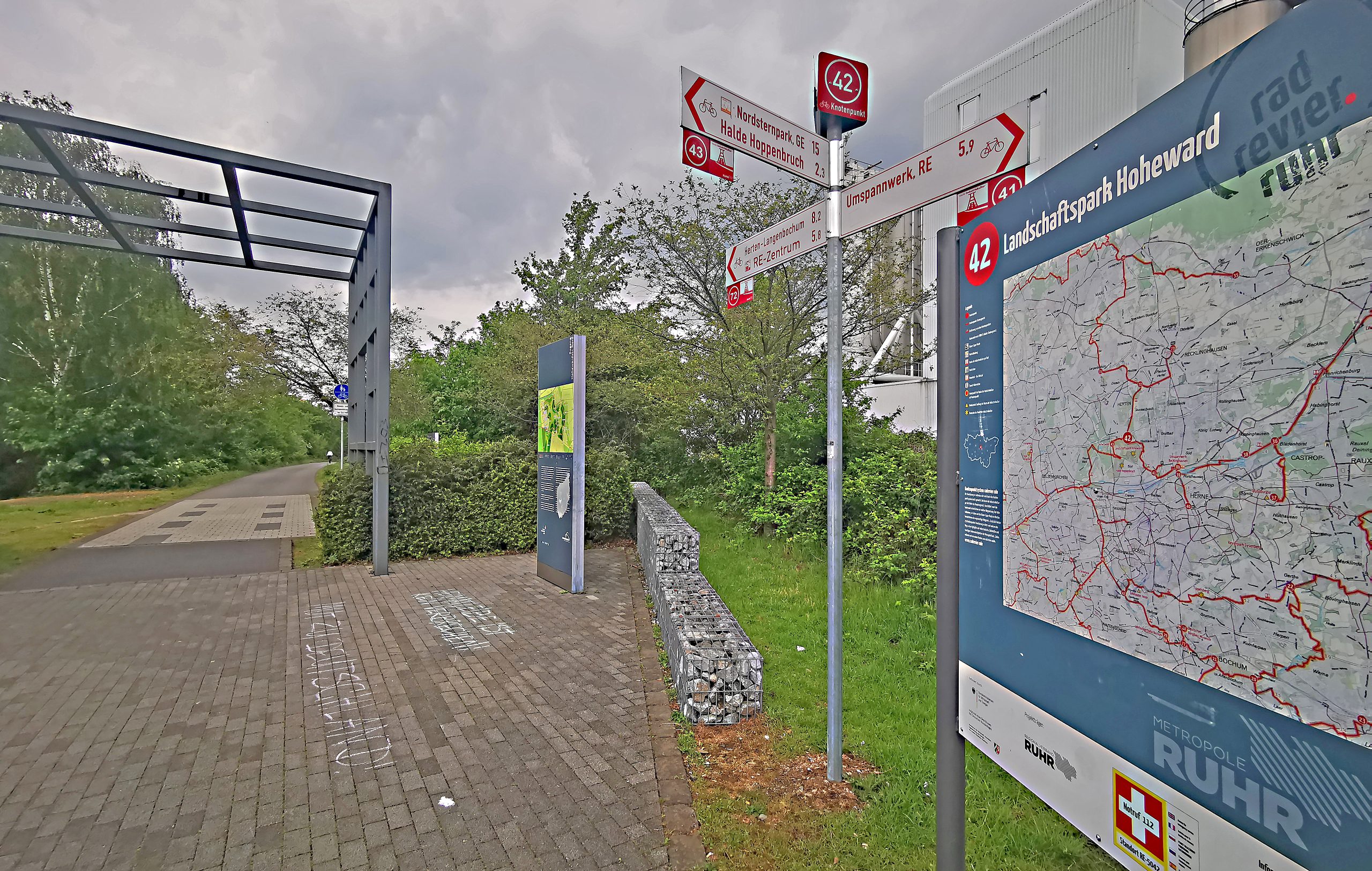
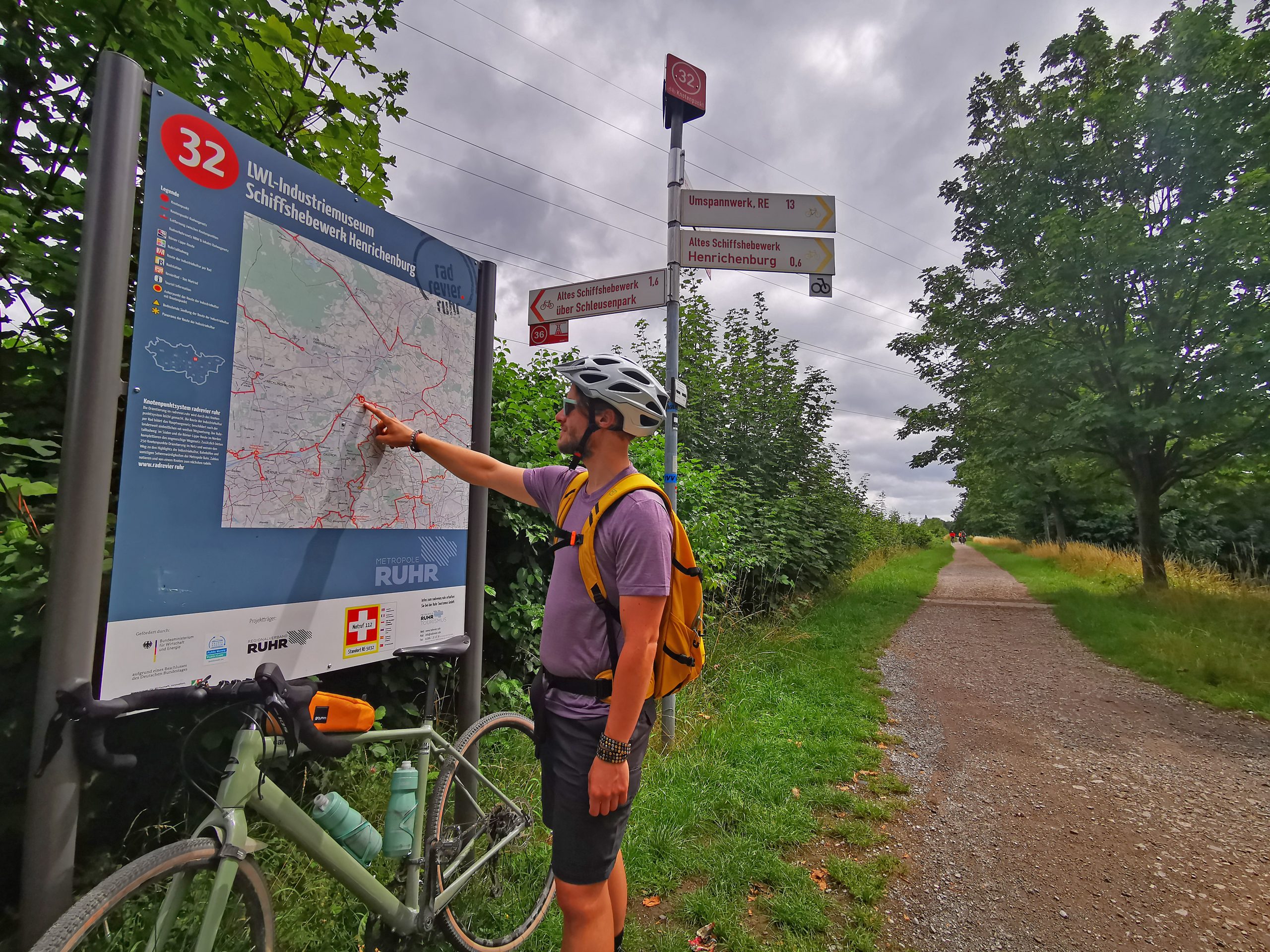
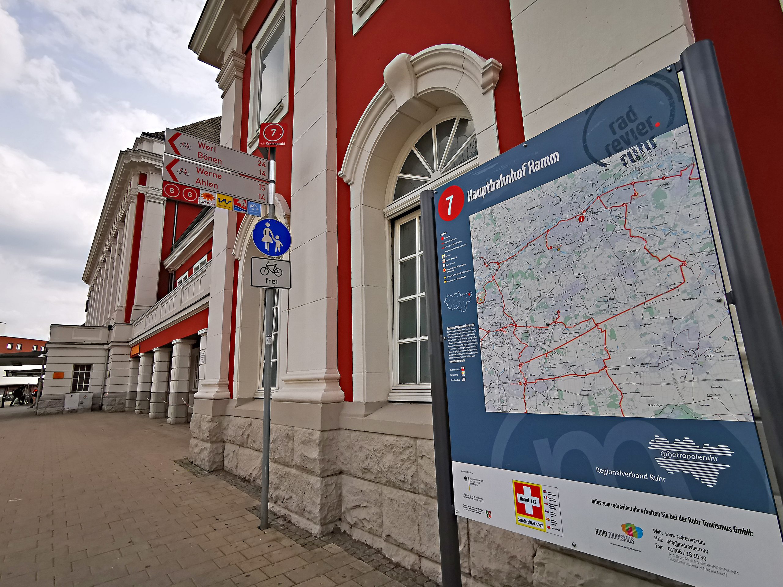
At the junction, you'll find the actual number on a stand with white lettering on a red background. However, the information board is much more helpful, as it displays a map of the surrounding area for orientation, allowing you to see the next few kilometers of your tour. The distances between the junctions are also shown on the map. For emergencies, a rescue code is always displayed on the board so that the emergency services know where to go in case of an emergency. Unfortunately, these information boards are often defaced or vandalized, so you might not find one at a junction. If you notice any such vandalism, please send us an email to info@radrevier.ruhr – ideally with a photo and the exact location.
What do the logo inserts under a signpost mean?
Besides the junction numbers, you'll often see other markings. These are usually logos of themed cycle routes, which accompany you just like the numbers. On a long-distance cycle route like the Ruhr Valley Cycle Route , these logos are incredibly helpful for quickly orienting yourself and knowing exactly where to go. However, their usefulness diminishes quickly on shorter day trips, as many logos look so similar that quick orientation is no longer possible. The reduced junction numbers, on the other hand, remain unambiguous. Nevertheless, you should always check before a trip whether you can follow a themed route marked with a logo.
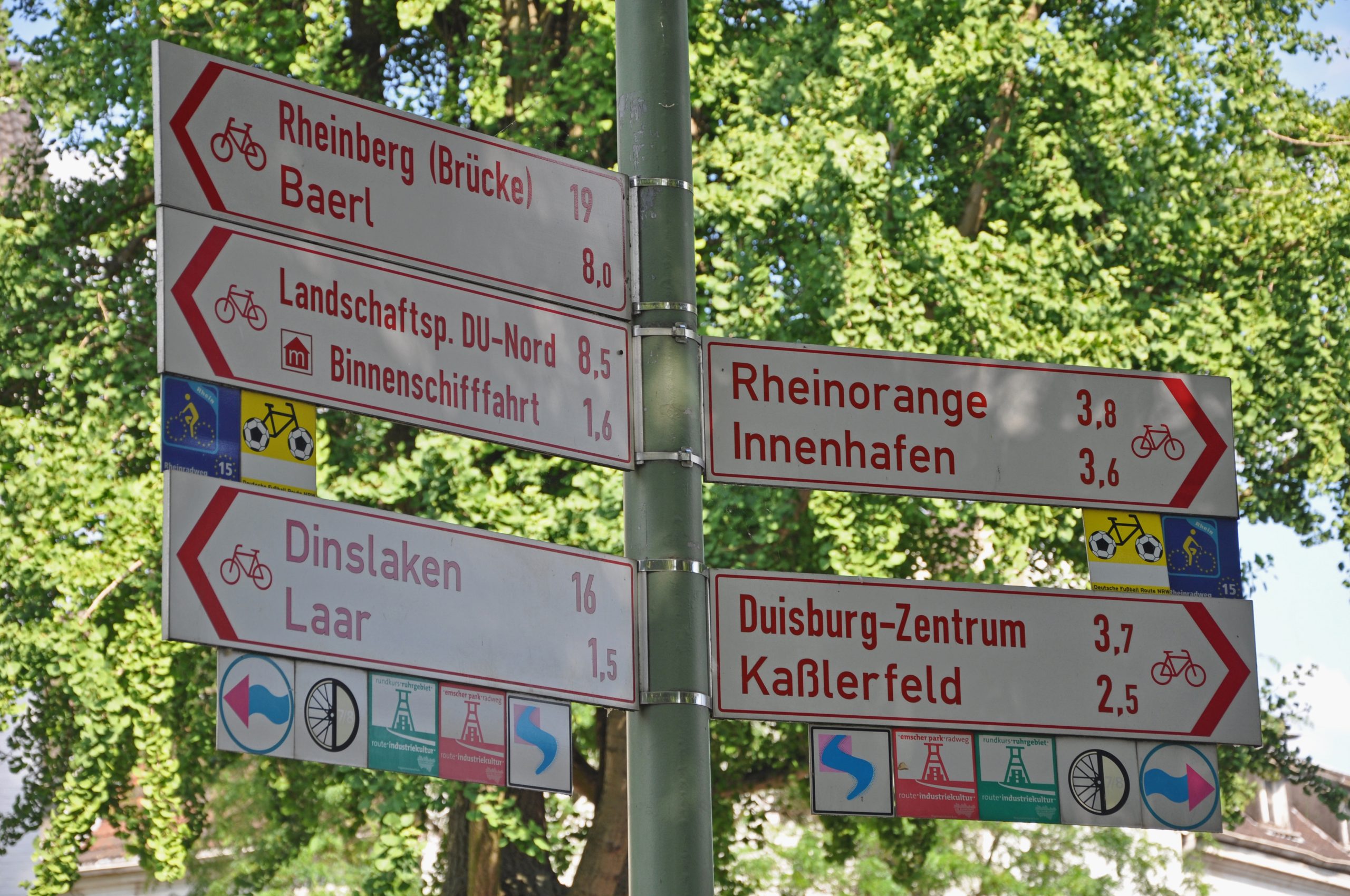
Our regional routes haven't been given a separate logo, as we believe there are already too many logos on the signposts. Therefore, you'll find the relevant junction numbers in the correct order in our tour descriptions.
Do I only look at the junction numbers, or do the red and white arrows also count?
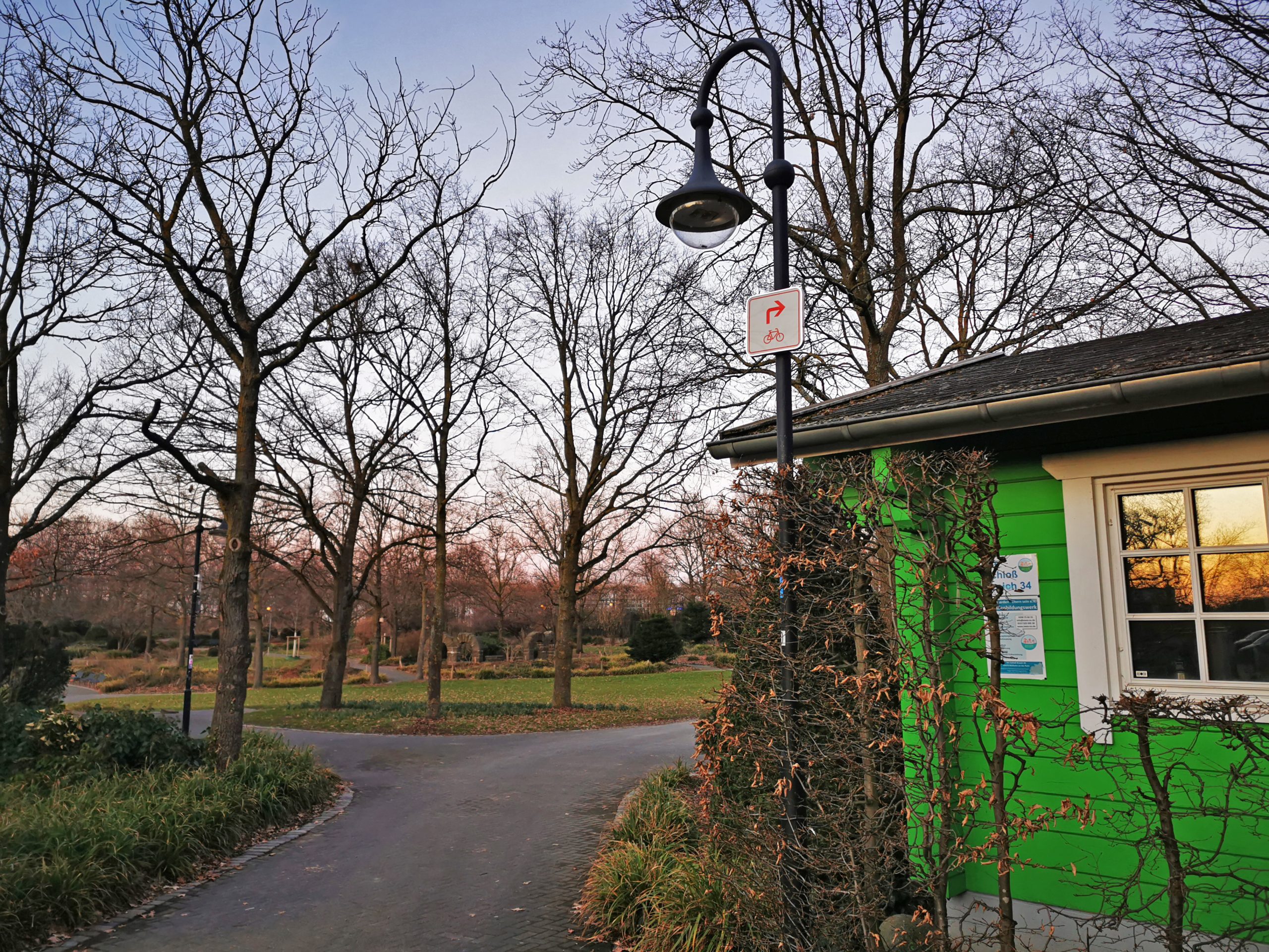
This is particularly important because cyclists often get "lost" here. If the cycle path turns between two junctions, but no other cycle path leads in a different direction at that point, there are no large arrow signs with numbered inserts, but only small red and white arrows, so-called intermediate signs. These don't have any numbers or route logos attached. Nevertheless, they also apply to you if you want to continue following the junction system. Unfortunately, these small intermediate signs are often ignored, even though they are very frequently used.
What exactly does the signpost say?
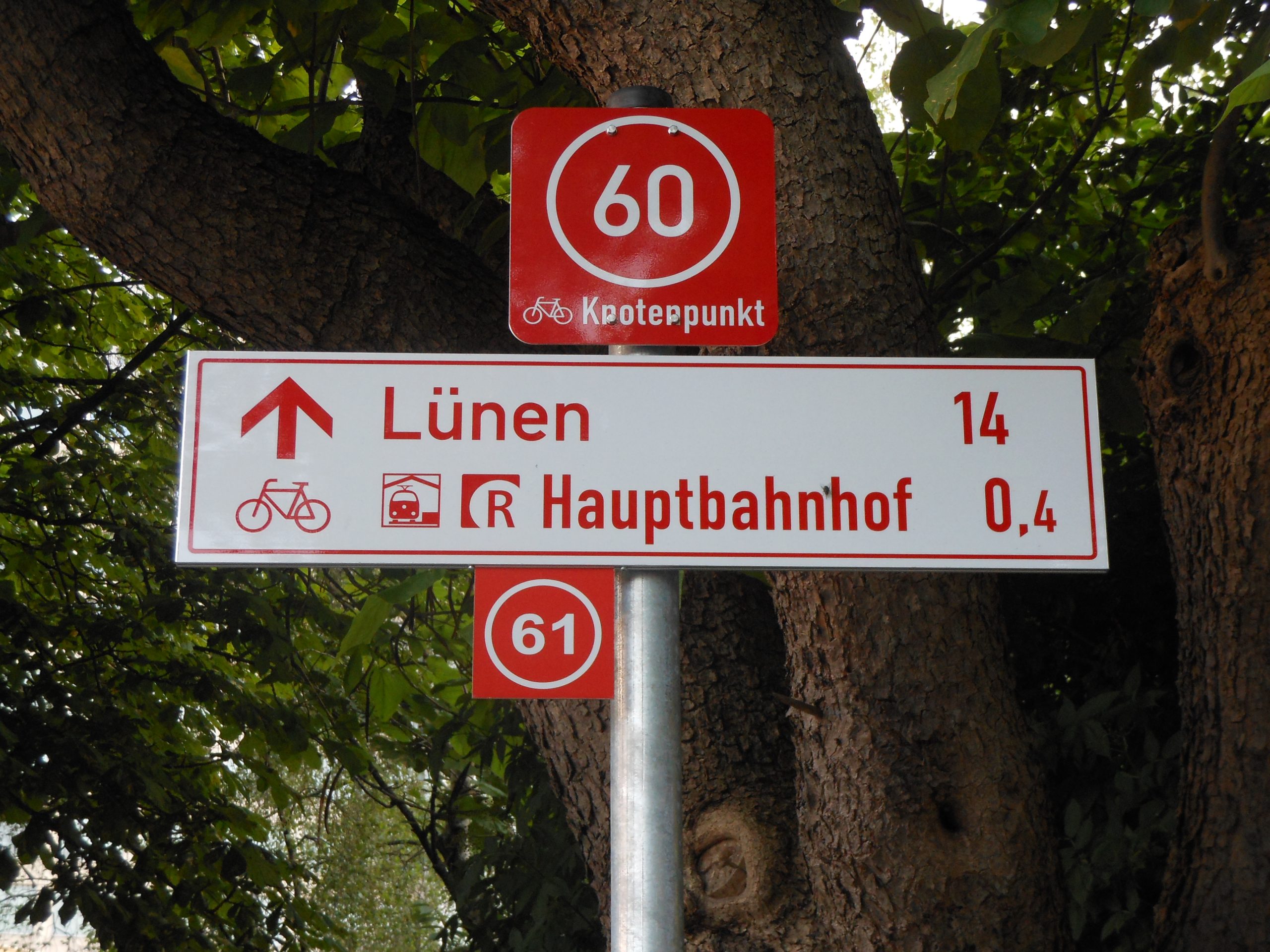
Most cycle route signs display two destinations. The upper destination is usually a more distant one, which cyclists can use as a guide on longer tours. The lower destination is typically a nearby one, so we know what's right in the vicinity. You'll find names of districts as well as important sights on the signs. The kilometer markers next to each destination provide important information for planning your time, allowing you to estimate how much time you'll need to get there.
How long will it take me to travel the specified kilometers?
Most cyclists average around 15 km/h. If you prefer a more leisurely pace, you should plan for 10 km/h, while sporty cyclists can manage 20 km/h. Outside of competitive cycling, however, speeds rarely increase, as you always have to factor in short stops or slower sections – after all, cycle paths are n't racetracks. Beginners who want to cycle very slowly and take frequent breaks should even plan for an average speed of less than 10 km/h.
Can I rely solely on the signposted junction system?
Unfortunately not. We strongly recommend that you always have a good "Plan B" with you. Whether it's a printed, analog map like the one in our map set, or a digital alternative for orientation, is certainly a matter of personal preference. I personally prefer to have both. Unfortunately, signposts can sometimes go missing, or pranksters might have turned them the wrong way. Of course, cycle path wardens ride the entire route several times a year and check the system. Nevertheless, you should expect that a signpost might occasionally be missing or pointing in the wrong direction.
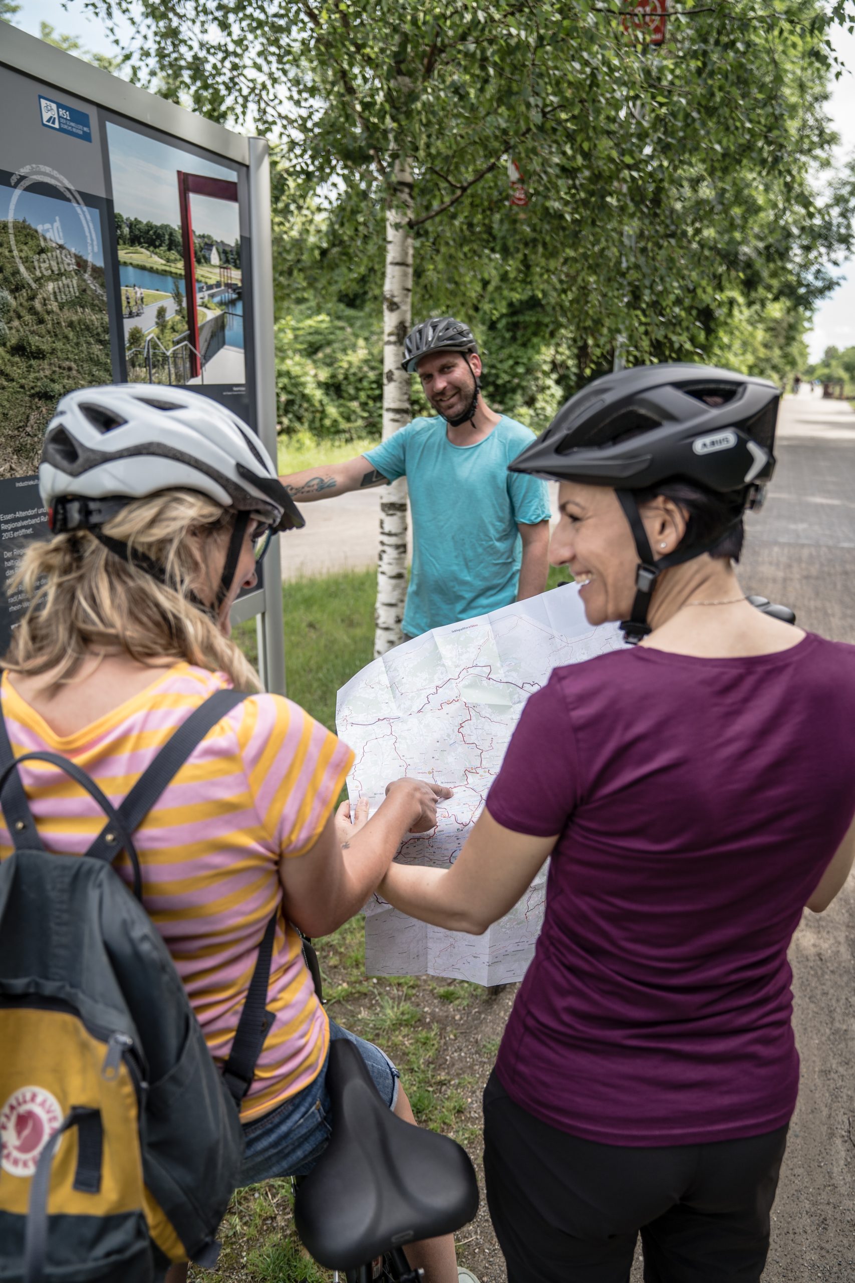
Without additional maps, it can be quite difficult to find your way back to the desired route. I usually use my phone's navigation, am happy when the signpost points in the same direction, and always keep a printed map in my saddlebag just in case. That way, nothing can really go wrong.
Digital tour planning on the junction system in the Ruhr area
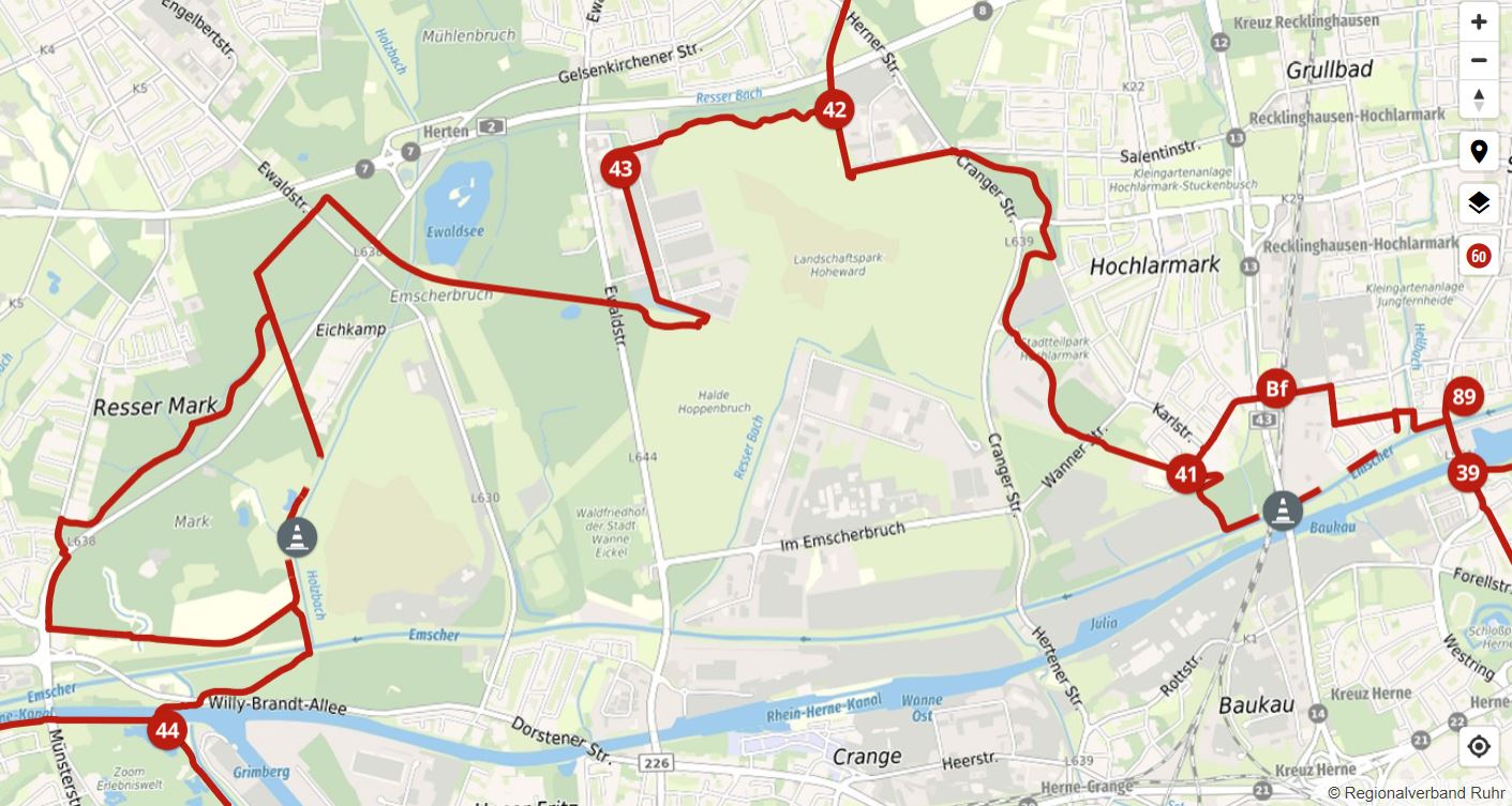
Of course, there are many route planners you can use to plan your bike tour. However, it's often difficult to follow the exact junction network. The suggestions from Komoot, Outdooractive or other planners identical to the signposted junction system. On our official bike tour planner.ruhr In contrast, it's very easy to create tour suggestions on the junction network. Incidentally, all known construction sites are already included, along with the appropriate detours, updated daily. You can also use the corresponding app for free navigation. Or you can download the GPX-file and you can then load it into Komoot or your bike navigation system.
Free information material
There is a free overview map of the entire junction network in the Ruhr area at a scale of 1:100.000. Suitable tour suggestions on the junction system can be found in the official RevierRouten (Ruhr Region Routes), which we present in the tour booklet. Those who would like to experience the region as a tourist will find all bicycle-friendly, ADFC-certified Bed+Bike establishments in the digital accommodation directory radrevier.ruhr. You can easily order the complete information package online here .
More information available on site
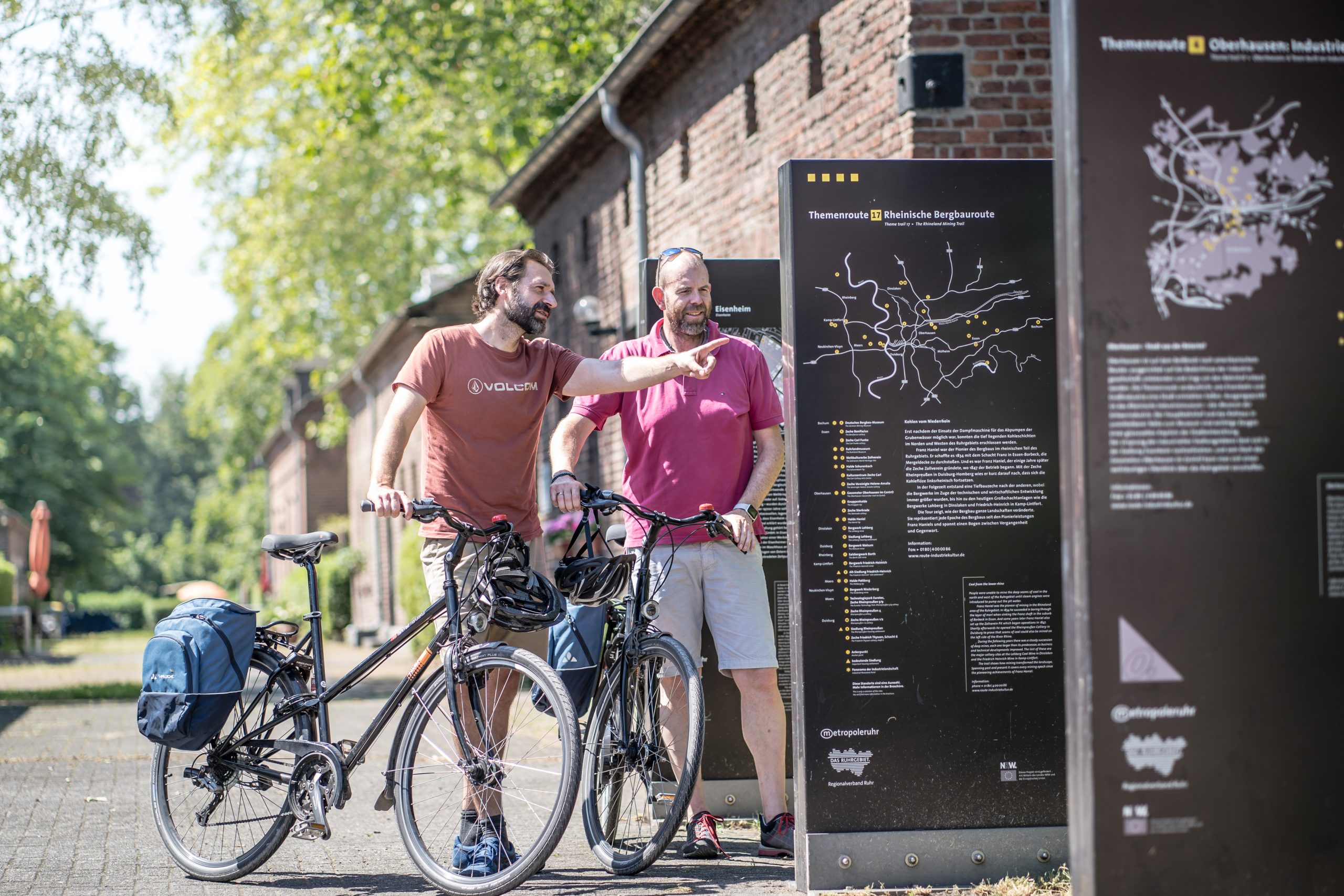
In addition to the information panels of the junction system, the large slabs along the Industrial Heritage Trail also provide you with a wealth of information about the location you are currently at. It's well worth taking the time to read the information about the industrial monuments. Even seasoned Ruhr area experts will often stumble across background information they weren't aware of.
More questions about the junction network system in the Ruhr area?
Then simply write them in the comments below and I will try to answer them appropriately. I wish you every success with your next tour planning using the junction network system in the Ruhr area and, of course, lots of fun cycling in the radrevier.ruhr region!